Mesa Without a Car: How to Get Around by Bus, Rail and Rideshare
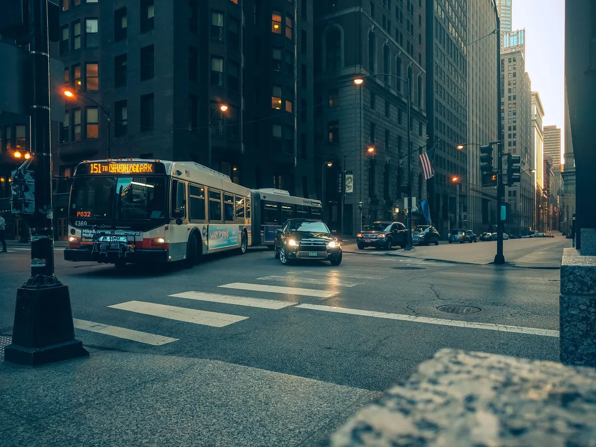
Mesa has an unfair reputation as a place you can only enjoy with a car. The city spreads across well over a hundred square miles of the East Valley, its highlights are scattered from the Superstition foothills to the Salt River, and almost every visitor arrives with a set of keys in their pocket. Look closer, though, and a car-free trip is genuinely workable. A light rail line runs the length of Main Street, buses cover most of the major arterials, and rideshare handles the last few miles to the ballparks and trailheads. You just have to plan around the heat, the timetables and the distances.
Start with the light rail
Valley Metro Rail is the easiest part of the system to understand, because it does one thing well: it follows Main Street. From the eastern end of the line at Gilbert Road and Main, it runs west through downtown Mesa, then into Tempe past Arizona State University, and on into downtown Phoenix.
For most visitors, three stops do the heavy lifting. Country Club/Main Street, Center/Main Street and Mesa Drive/Main Street put you within a few minutes' walk of the Mesa Arts Center, the Arizona Museum of Natural History, the i.d.e.a. Museum and the Mesa Arizona Temple. Downtown is compact and flat, so once you're off the train you can cover it on foot.
Trains run roughly every 15 to 20 minutes for much of the day and thin out in the evening. Check the time of the last train back before you settle in for a long dinner — it comes sooner than you might expect. Bikes are allowed on board, which extends your range considerably.
Buses: easier once you accept the grid
Mesa's bus network is built on the Valley's grid of one-mile arterials, so it makes more sense than it first appears. Route numbers broadly match the street a bus travels along, which is often simpler to remember than a name. Main Street, Southern Avenue, University Drive, Country Club, Gilbert Road and Power Road all carry regular service.
Two things that catch people out
The first is frequency. A handful of routes are genuinely frequent, while many run every 30 to 60 minutes, so a missed bus can mean half an hour standing in the sun. The second is service hours: many routes finish for the night earlier than you'd like. Plan your day around the timetable instead of turning up and hoping.
Mesa's most useful transfer points are the light rail stations along Main Street, where you can switch between bus and train on one ticket. Use Valley Metro's trip planner or a transit app with real-time arrivals. The printed time and the actual time are often different animals.
What you can reach without a car
- Downtown Mesa's museums and theatres: light rail to Center/Main Street, then walk. This is the best car-free day out in the city.
- Tempe and downtown Phoenix: a straight ride on the light rail, no transfers.
- Phoenix Sky Harbor airport: ride to 44th Street/Washington, then follow the signs for the PHX Sky Train, which links the station to the terminals. Allow plenty of time.
- The Asian District around Dobson Road and Main Street: a bus along Main, or the train plus a short walk. Good for bakeries, groceries and cheap lunches.
- Sloan Park for Cubs spring training: the stadium sits away from the rail line, so rideshare is usually the sensible choice, particularly for evening games.
- Usery Mountain Regional Park and the Superstition foothills: no useful transit. Book a rideshare out and arrange your return in advance. There's an entry fee at the gate, and the gates close in the evening.
- Mesa Gateway Airport: bus service is limited, so check the current timetable before you commit and keep a rideshare as a fallback.
Rideshare, taxis and the driverless option
Uber and Lyft both operate throughout Mesa and are the practical answer to the city's long east–west distances. A few habits make them work better. Set your pick-up pin carefully: at the Mesa Arts Center, Sloan Park or the big shopping centres along Power Road, drivers can easily end up on the wrong side of a car park. Drop the pin on a named entrance or a nearby cross street instead. Expect surge pricing when a spring-training game or a concert lets out, and consider walking ten minutes clear of the venue before you order.
Driverless Waymo rides have been part of the Phoenix area's transport mix for some time and the service area has been spreading across the East Valley, but coverage changes, so open the app and check before you count on it. Traditional taxis are still around, and downtown hotels can usually call one for you.
The trip to think hardest about is a trailhead. Usery Mountain and the roads out towards the Superstitions are a long way from anywhere, and a driver who drops you off may be reluctant to accept a return booking from an empty car park. Book your return in advance if the app allows it, save a local taxi number, and don't rely on a phone signal in the mountains.
Fares and paying your way
Valley Metro sells single rides, one-day passes and longer passes. A local pass covers both buses and light rail, so one purchase can see you through a whole day of hopping on and off. Fares and payment methods change from time to time, so check the current options on Valley Metro's website or app before you travel.
- Buy before you board where you can; mobile tickets and reloadable fare cards are the least fiddly options.
- Keep a little cash as a backup, but don't count on a driver having change.
- Light rail stations have ticket machines; buses are paid on board.
- Reduced and children's fares exist, so check what applies to you rather than assuming.
Heat, timetables and timing
Mesa's summer heat is the biggest single factor in whether a car-free day goes well. Between roughly May and September, walking four blocks in the middle of the afternoon is unpleasant and sometimes risky. Start early, plan indoor stops for the hottest hours, carry more water than you think you need, and wait for your bus or train in whatever shade the stop offers. Late-summer monsoon storms can flood roads and delay everything, so leave some slack in the schedule.
Two smaller points. Sunday and public holiday timetables are thinner than weekday ones, so build the day around them rather than being caught out. And if you're travelling with a bike, buses carry two on a front rack while the train takes them on board — a useful combination for reaching the canal paths and the flatter parts of the East Valley.
Before you set out
Charge your phone, because every part of this plan depends on it. Download an offline map and the Valley Metro app before you leave. Check the last train times for the day you're actually travelling, not the day you looked them up. For anything beyond the rail corridor — the parks, the swap meet, the far-east shopping districts — budget for a rideshare in both directions rather than assuming a car will be waiting at the other end.
Do that bit of homework and you can happily leave the keys at home.
Photo: Allen Boguslavsky / Pexels